
Contouring and Its Method: Contour Interval, Interpolation, Characteristics and Uses of Contour Maps
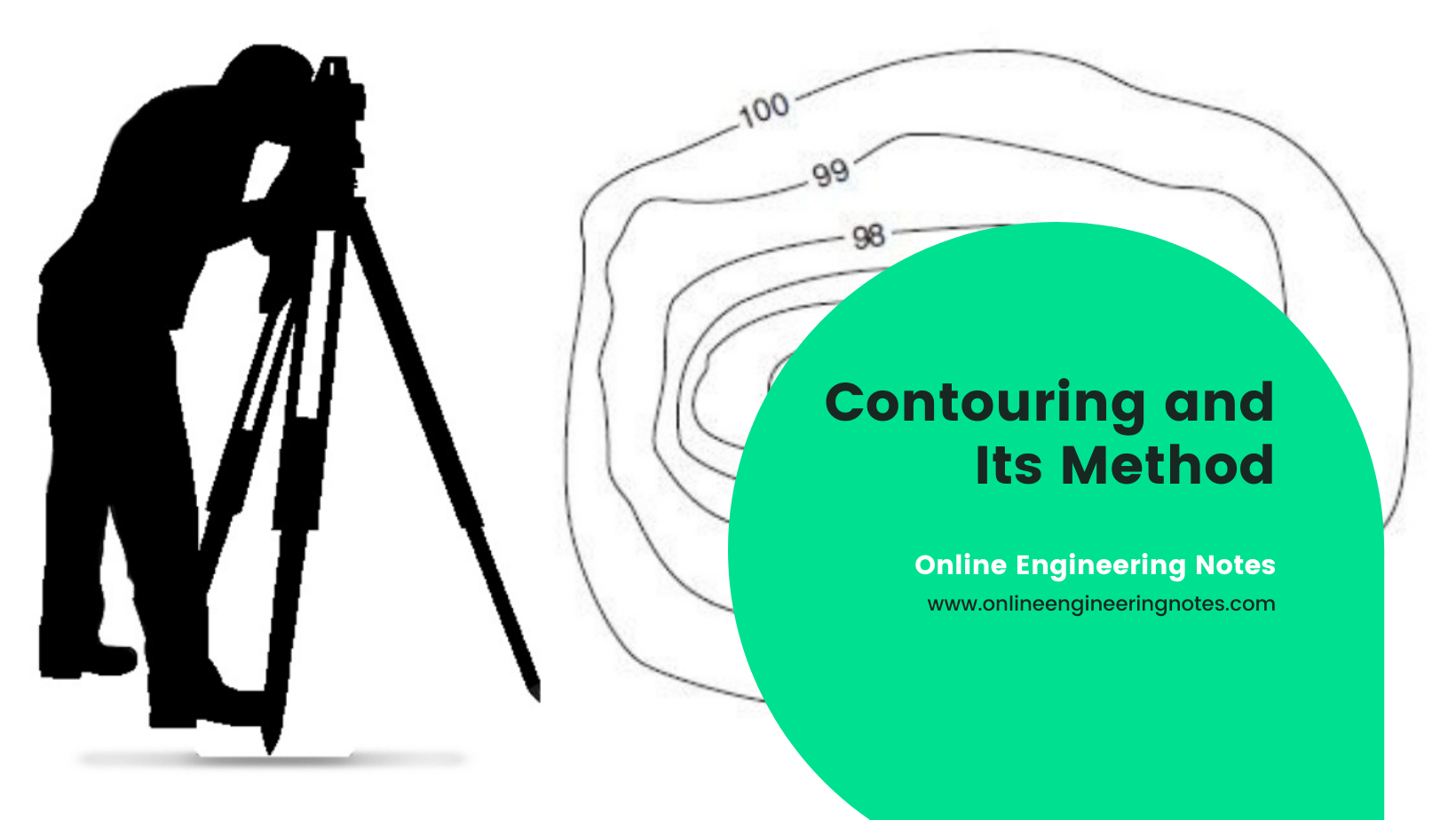
Basic definition in Contouring: A line joining points of equal elevations is called a contour line. It helps to visualize the relief of ground in two dimensional plane or map. The method of plotting contours in a plan or map is called conturing. A contour line marked by a heavier line weight to distinguish it … Read more